Like a photo on this page?

Share on Facebook!
Follow us on Facebook:
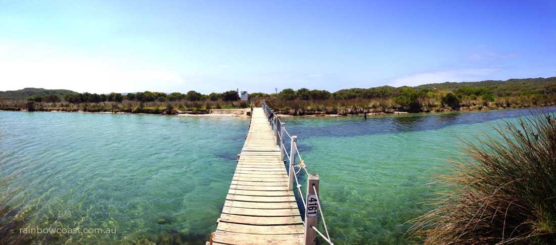
Heading to the South Coast? Visit Denmark, Western Australia along the Rainbow Coast
Fremantle Maps
Where is Fremantle?
How do I get to Freo?
Perth Airport to Fremantle by Car:
(domestic and international)
 If you are flying, you will almost certainly arrive at Perth International / Domestic Airport. From the Airport it is an easy 40 minute drive past the City along the South side of the river to the seaside port of Fremantle. The easiest way to Fremantle is an airport shuttle, chauffeur or drive yourself. Here's a map so you'll know your way:
Perth to Fremantle by TRAIN
Fremantle Station, is a Transperth station 18.7 km from Perth, in Western Australia, and is the terminus of the Fremantle Line, with frequent passenger services to Perth and Midland daily between 5am and 6pm, with a slighty later start on weekends. Perth Central train station is on Wellington Street.
(Website: Transperth Tel: 13 62 13 Info line)
Getting Around Fremantle
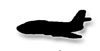
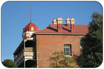
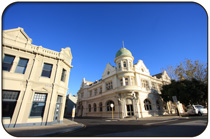
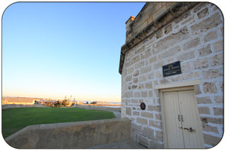
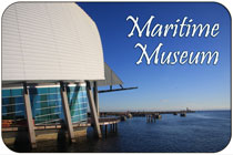
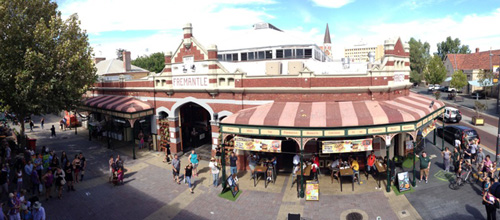
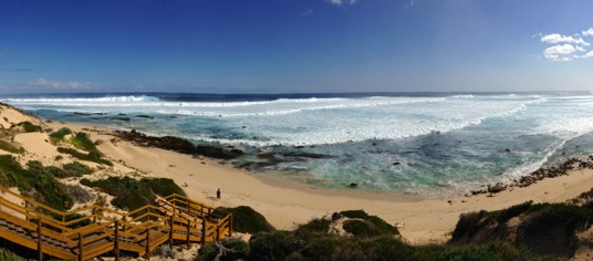
You'll want to know how to get around Fremantle , and also where to go. Fremantle is fantastic when it comes to public transport. The Fremantle CAT (Central Area Transit) will take you to stops all over Fremantle for FREE. We recommend stopping at the Beaches, Markets and Museums as well as the outstanding colonial Architecture.
Boundaries, boundaries...
Wonder where the Boundaries between North, South, East and the West End of Fremantle meet? Visit our Fremantle Districts Page to view the Fremantle Boundary Map
Fremantle City, Fremantle Suburbs & the Town of East Fremantle
Fremantle and the surrounding districts each have their own unique blend of beauty and charm. We have created a page to show Fremantle's political boundaries between North Fremantle, South Fremantle, Central Fremantle, Beaconsfield and the Town of East Fremantle. Nearby Hilton, O'Connor, Samson, and White Gum Valley are beautiful residential districts.
North Fremantle, South Fremantle, the Town of East Fremantle and Central Fremantle... where are they all? Here's a map to help.
Other Useful Maps
Fremantle Map
![]()
![]() Instructions: To use the map, click on one of the little 'pins'. Navigate and zoom using the buttons in the top left of the map. Switch map to Satellite or Terrain view using the buttons in the top right of the map.
Instructions: To use the map, click on one of the little 'pins'. Navigate and zoom using the buttons in the top left of the map. Switch map to Satellite or Terrain view using the buttons in the top right of the map.
View Fremantle in a larger map
Other amazing locations in the South-West of Western Australia!
More information on the south-west coast in our other Western Australian visitor guides:
Have you visited?
Fremantle WA
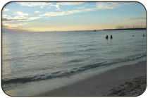
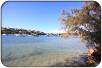
Fremantle, the Port City, is located south-west of Perth at the mouth of the Swan River. Fremantle's vibrant nightlife, music scene and cafe' culture make Fremantle a perfect getaway from the bustle of Perth. Beaches, history, shopping, dining out, and more. VISIT FREMANTLE
Ever visited
Margaret River, WA
The Margaret River Region is an area of magnificent beauty on the western coast of the south west of WA. From the expansive shores of Busselton on Geographe Bay, through Dunsborough & Margaret River to Augusta, the Margaret River Region is fantastic. VISIT MARGARET RIVER
Visit the
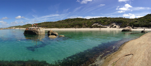
Rainbow Coast
The Rainbow Coast is a national biosphere area and deserves our care and respect, please try to reduce your environmental impact when visiting the coast. The Albany, Denmark and Walpole region of the South Coast is known as the Rainbow Coast
Have you visited?
Denmark WA
Denmark WA is one of the most beautiful places along the south coast as it has forests, beaches, rivers and waves. Everything you need for the perfect south coast holiday. Denmark Wineries are popular too! Info on Denmark Town including shopping, dining & history, VISIT DENMARK WA